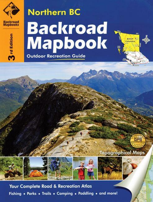
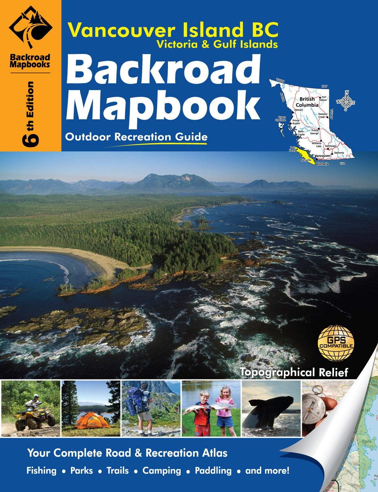
BRMB Haida Gwaii Waterproof Map
A waterproof, topographic map with relief shading of Haida Gwaii (formerly known as The Queen Charlotte Islands). Covering Graham Island and surrounding islands on one side, and Moresby Island with its neighbouring land on the other, this map shows you where to go for hiking, camping, paddling, wildlife viewing and more. It includes towns, parks, recreational information, back roads, logging roads and areas not accessible by road. Also featured is a UTM grip for the GPS user.
| Ideal for |
|
|---|---|
| Regionality | British Columbia |
| Language | English |
| Edition | 2nd |
| Scale | 1:200,000 |
| Tearproof | Yes |
| Waterproof | Yes |
| Made in | USA |
Product Information
Product Information
Shipping & Returns
Shipping & Returns

BRMB Haida Gwaii Waterproof Map
BRMB Haida Gwaii Waterproof Map
A waterproof, topographic map with relief shading of Haida Gwaii (formerly known as The Queen Charlotte Islands). Covering Graham Island and surrounding islands on one side, and Moresby Island with its neighbouring land on the other, this map shows you where to go for hiking, camping, paddling, wildlife viewing and more. It includes towns, parks, recreational information, back roads, logging roads and areas not accessible by road. Also featured is a UTM grip for the GPS user.
| Ideal for |
|
|---|---|
| Regionality | British Columbia |
| Language | English |
| Edition | 2nd |
| Scale | 1:200,000 |
| Tearproof | Yes |
| Waterproof | Yes |
| Made in | USA |
Original: $11.64
-65%$11.64
$4.07Product Information
Product Information
Shipping & Returns
Shipping & Returns
Description
A waterproof, topographic map with relief shading of Haida Gwaii (formerly known as The Queen Charlotte Islands). Covering Graham Island and surrounding islands on one side, and Moresby Island with its neighbouring land on the other, this map shows you where to go for hiking, camping, paddling, wildlife viewing and more. It includes towns, parks, recreational information, back roads, logging roads and areas not accessible by road. Also featured is a UTM grip for the GPS user.
| Ideal for |
|
|---|---|
| Regionality | British Columbia |
| Language | English |
| Edition | 2nd |
| Scale | 1:200,000 |
| Tearproof | Yes |
| Waterproof | Yes |
| Made in | USA |